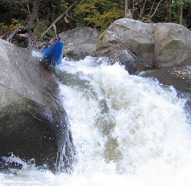
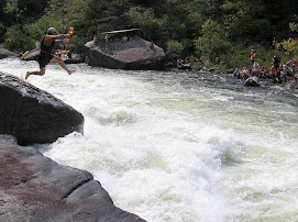
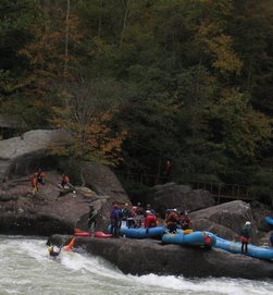
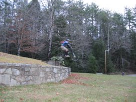
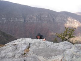
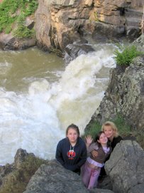
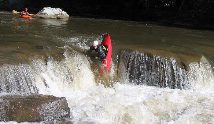
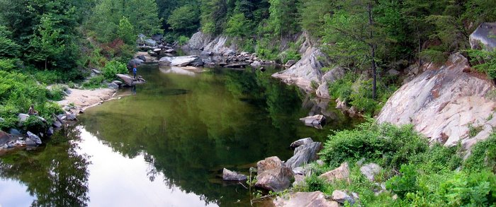
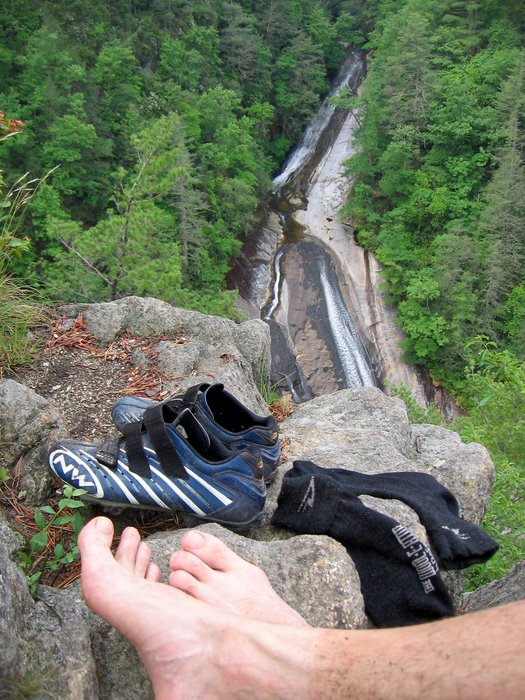
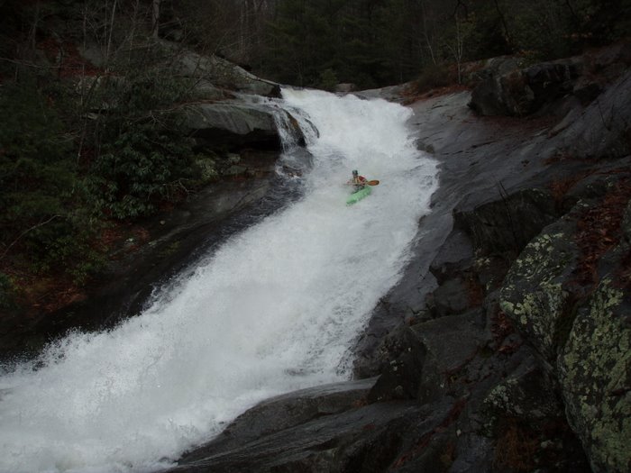
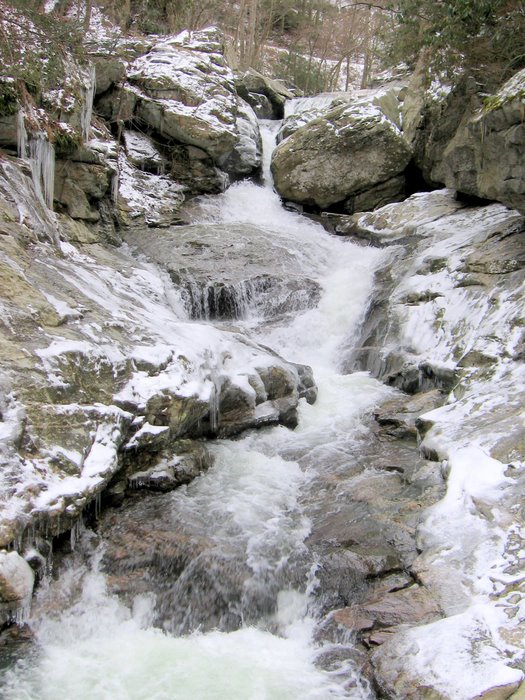
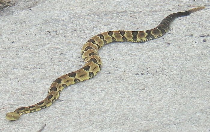
It was a rainy, cold, drizzly morning when Johnny Calhoun called to suggest a late morning / early afternoon Green run. They cut the water off at noon so it was important that we move down river fast, so I just got the one shot of Jim J. running Sunshine for his first time. My hats off, he had a smooth line.
JC and I headed on into town for a burrito at Mamacitas then onto Richmond Hill for 18 holes. A good Sunday.
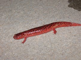
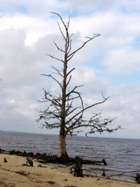
Amos' Epics


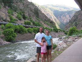
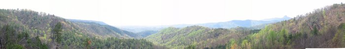
 After 6 miles of pedaling I arrived at Dan's house. We started up Goodmans Lake Rd, to Henderson Mill Rd, Pax Hill, then onto Packs Hill (2 spellings and 2 different rds), to Playmore Beach Rd and onto Brown Mountain Beach Rd then a left onto Johns River Rd, back to Henderson Mill and this is where Dan and I parted and I stayed on HM back to hwy 181, crossed over and stayed on Pea Ridge Rd until I got to a short road over to hwy 126 close to the Lake James fire station. I stayed on 126 until Watermill Rd and back through the boat landing, greenway and into the neighborhood.


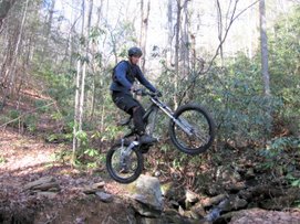
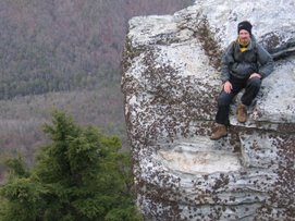
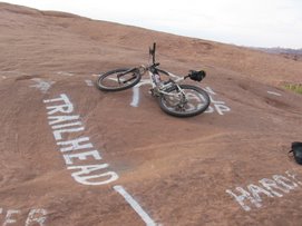
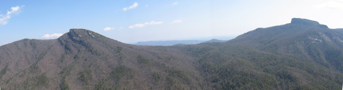
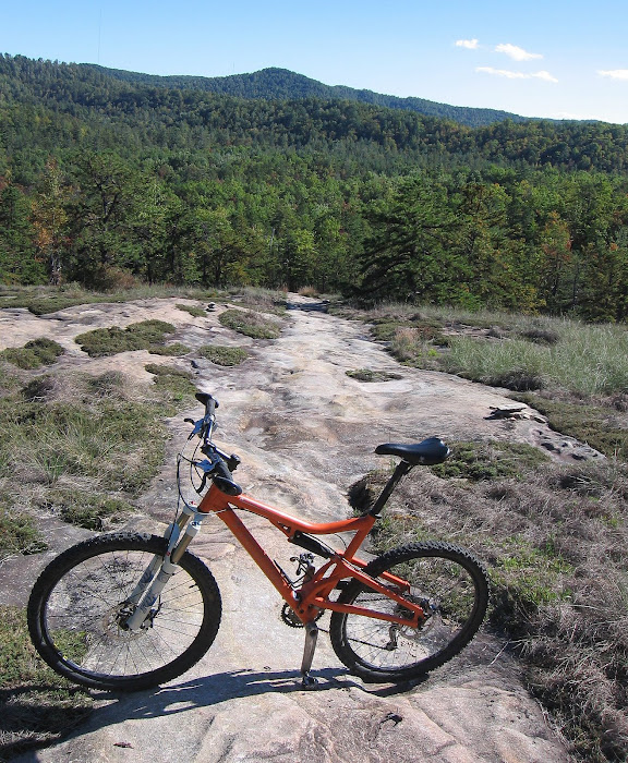
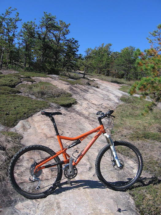
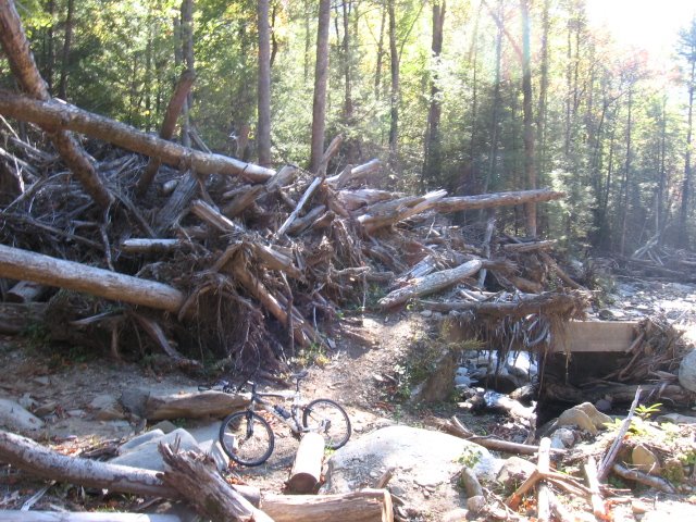
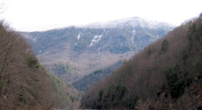
 I parked on the side of the road about a mile before the horse stables. To change it up a little I started climbing Avery Creek Rd instead of the FS rd behind the stable. I took a right onto the Buckhorn Gap single track which entailed a lot of creek crossings and then some significant uphill with some heavy erosion in places. It was worth it when I rolled up to the Black Mtn trailhead at Buckhorn Gap where I met up with Scott. Scott gave me a lot of good beta on some other trail options. We commenced up 127 to Clawhammer; Black Mtn. After a little hike-a-bike and incredible views, we finally hit paydirt with some off the hook downhill. I followed Scott down the Black Mtn trail to the intersection with Thrift Cove, trail #603 and took the left to connect this over to Grassy Road Trail and onto Sycamore Cove - thanks to Scott for the tour of that stuff, it has a little bit of everything. I then headed back to the car, and fueled up for round 2. This time I climbed up behind the horse stables and took 5058 up to 5099, Turkey Creek Rd