Total time: 5:21 moving time: 3:58 stopped time: 1:22 # of stops: 17
Average moving speed: 7.0 mph
Minimum elevation: 1,482' Maximum elevation: 5,078'
Ride start time: 12:24 end time: 5:46


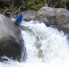
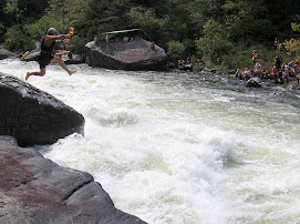
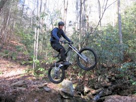
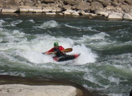
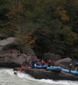
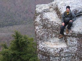
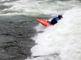
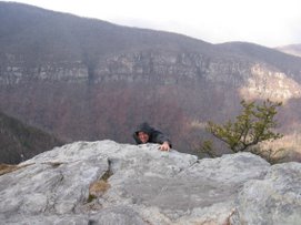
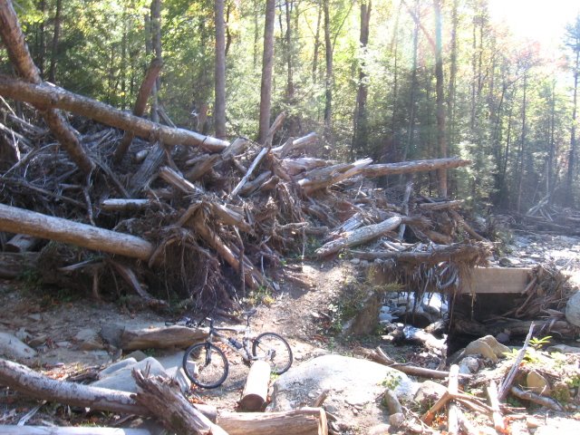
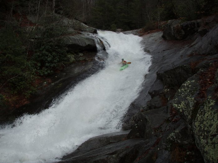
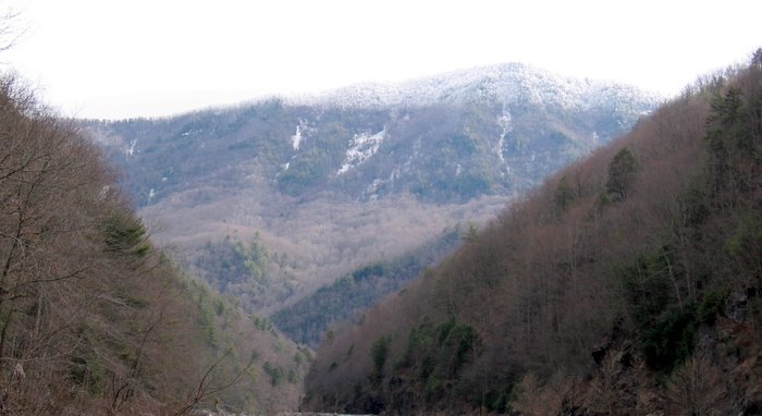
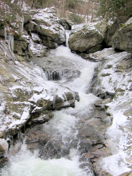
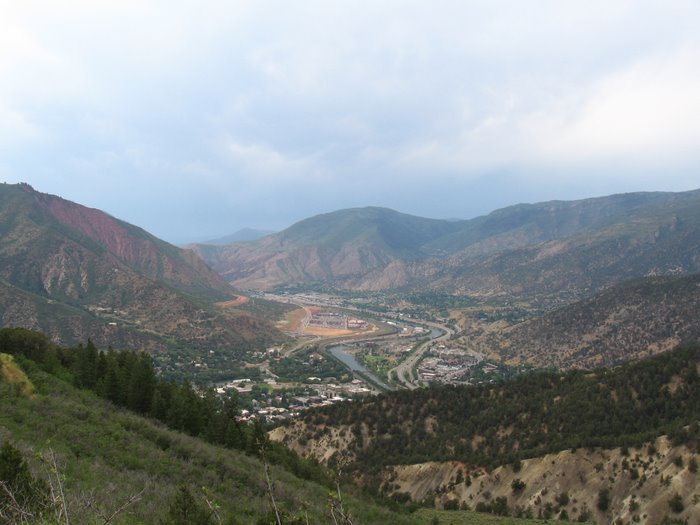
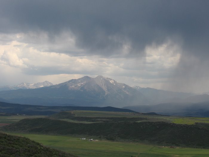
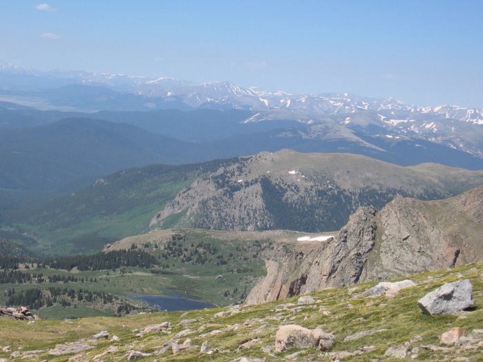
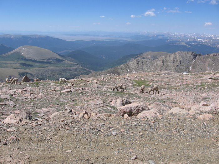
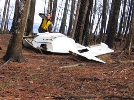
 Next 7 shots, the "pay to play: today:


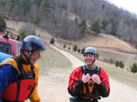
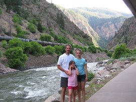
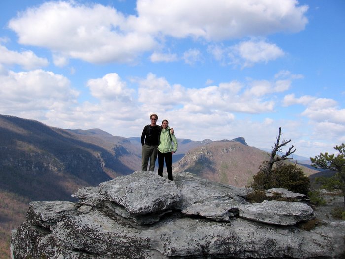
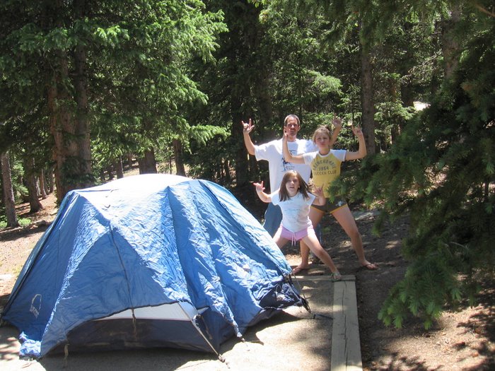
 The crew, Johnny Calhoun, Kyle, Garvin, and Joel:
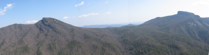
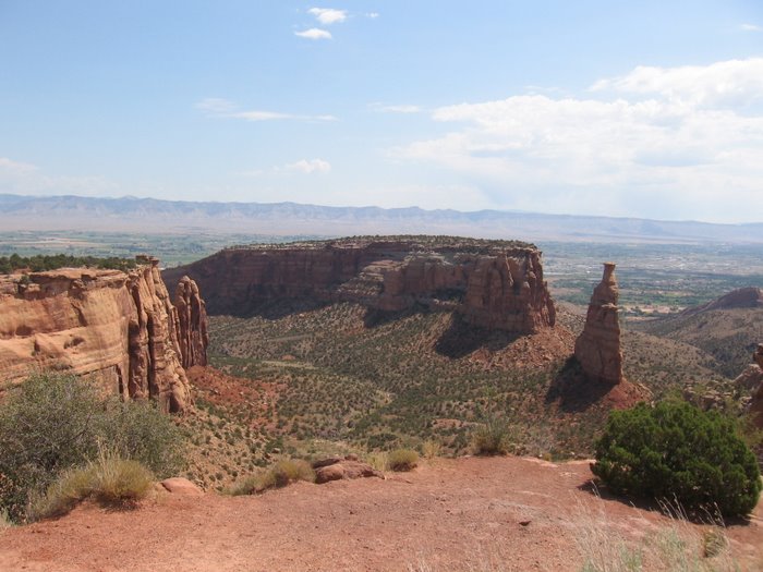
 Views from the Fire Tower, Table Rock and Hawksbill off in the distance:
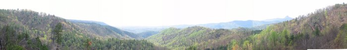


 Kyle rolling into Star Gap:
Joel at Star Gap:

Garvin dropping the last single track before dropping out onto Jareds Creek Rd: The bottom of Heartbreak Ridge and the start of our ride on Jareds Creek.
 I slid into third coming down Jareds Creek Rd. I was blastin' down in my big ring up front and my little ring in the back.
 The bottom of Heartbreak Ridge and the start of our ride on Jareds Creek. I slid into third coming down Jareds Creek Rd. I was blastin' down in my big ring up front and my little ring in the back.
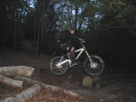
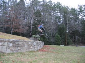
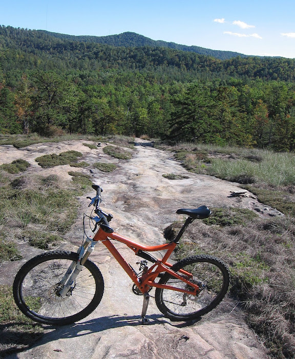
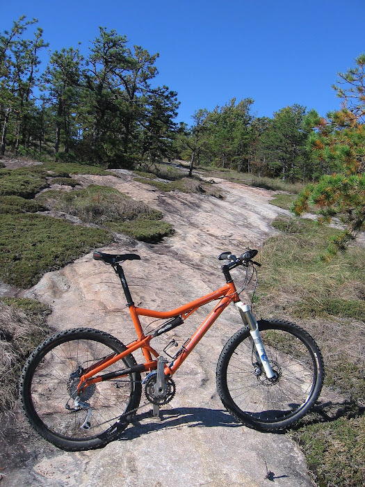
Amos' Epics

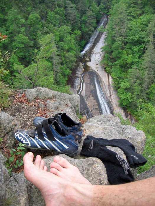
 WORD! From the guard rail at the Brown Mtn lights overlook ^


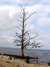
 Marion ride stats: