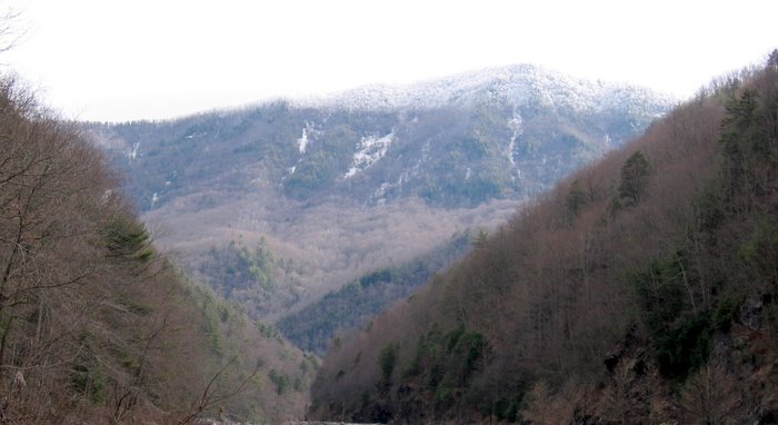
Below is my campsite up on Chestnut Mtn. Based on the wood under the tarp, I was the last to use it when I did my bike in camp weekend.
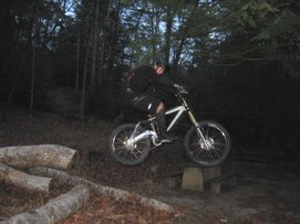
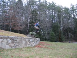
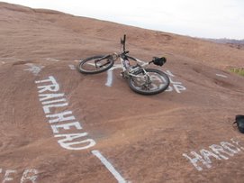
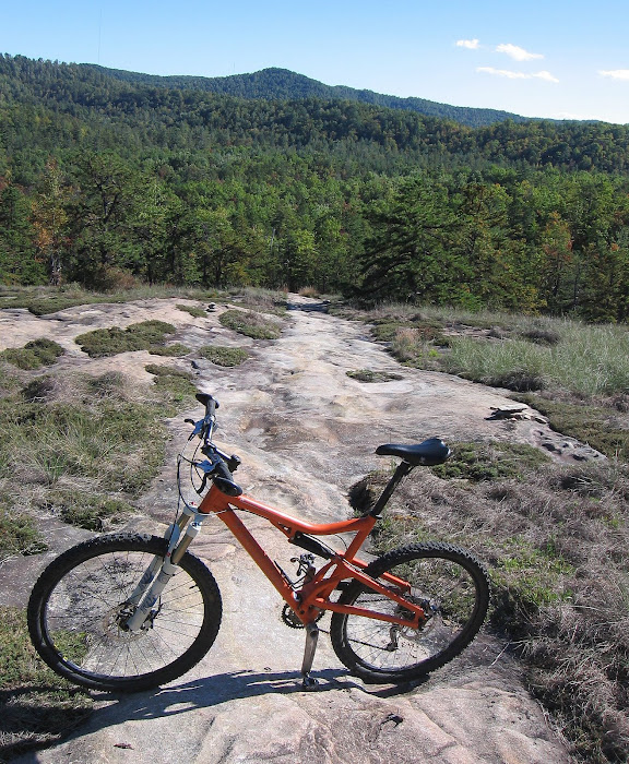
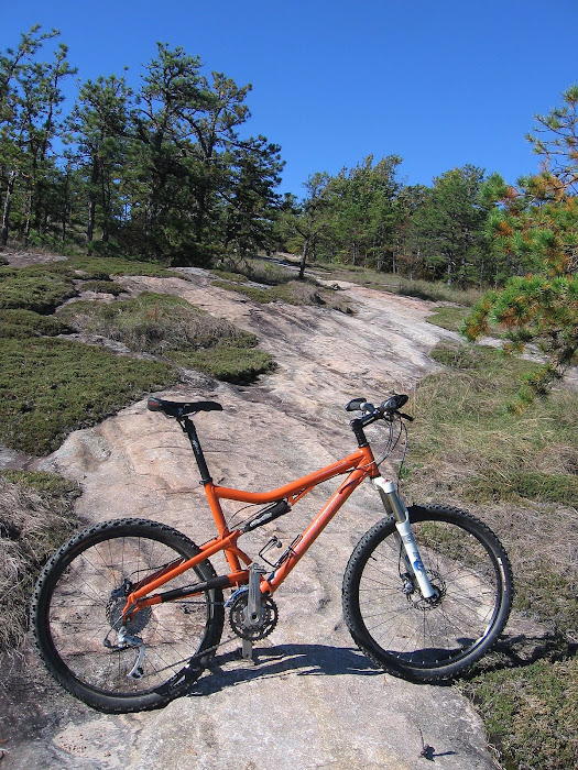
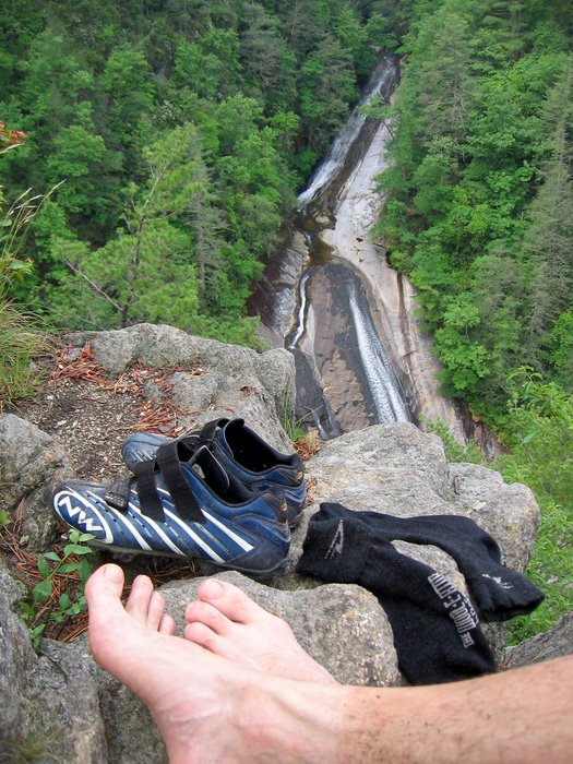
 Near the end of the BIG O, its all downhill from here:
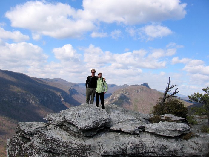
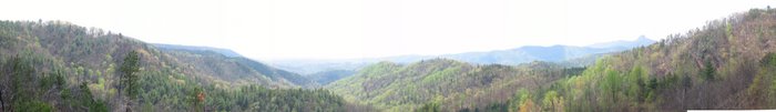
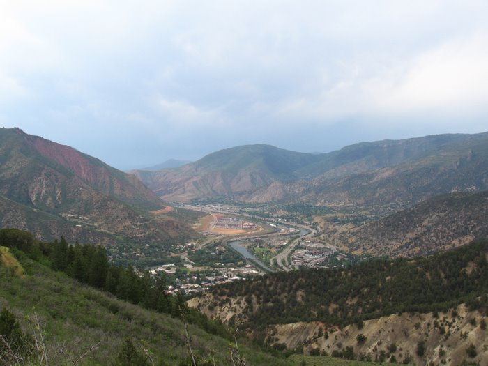
 I got in close to 20 miles, more or less, then I headed home and got the family together for a little trip up 181. Time for some family fall shots:
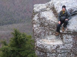
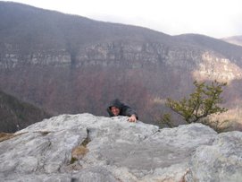
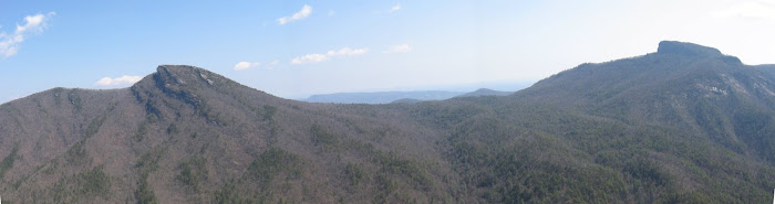
 Family pics at the Brown Mtn overlook:
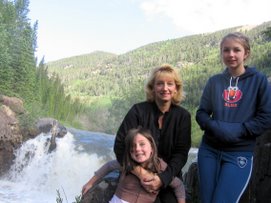
 Picnic at the Barkhouse
 A good way to spend Halloween!
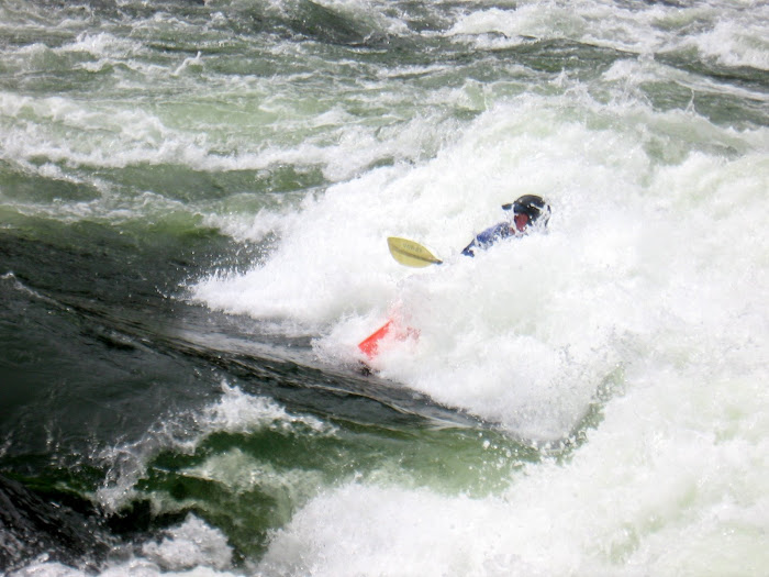
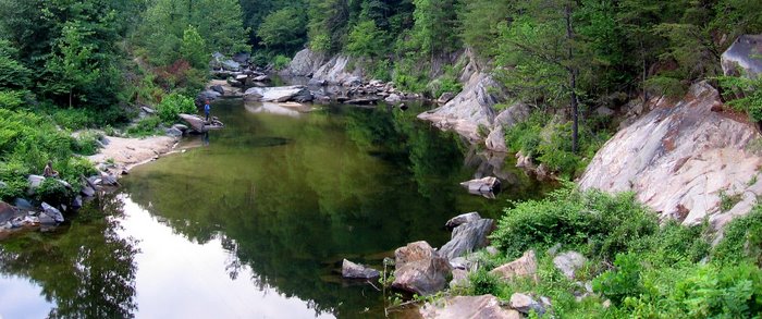
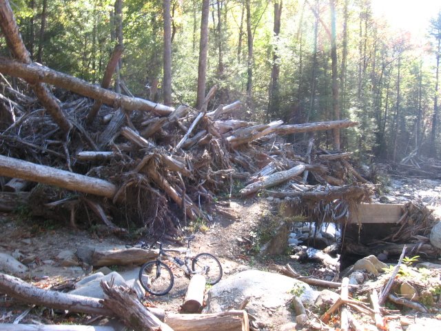
 Amos' Epics