
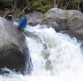
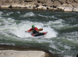
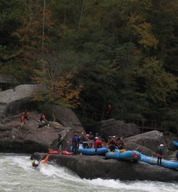
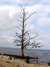
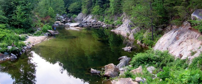
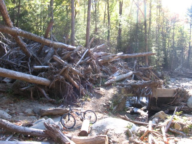
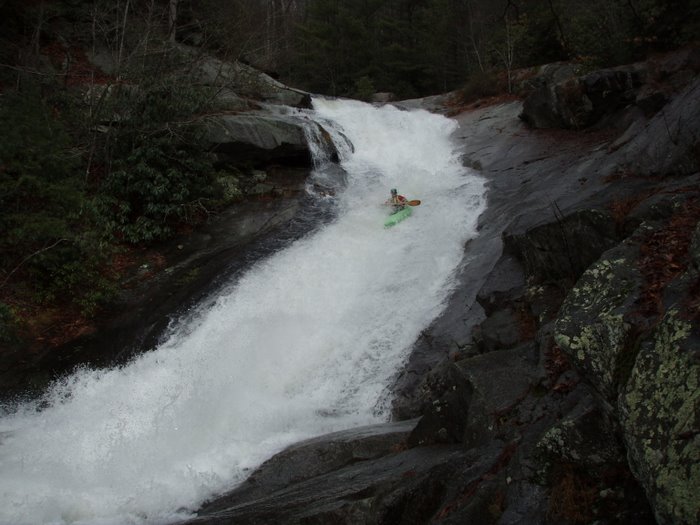
 It was nice to see this creek with a little water.

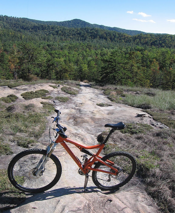
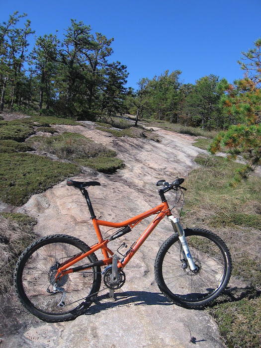
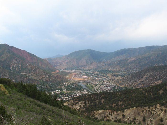
A long climb to the top. Made it onto the parkway:
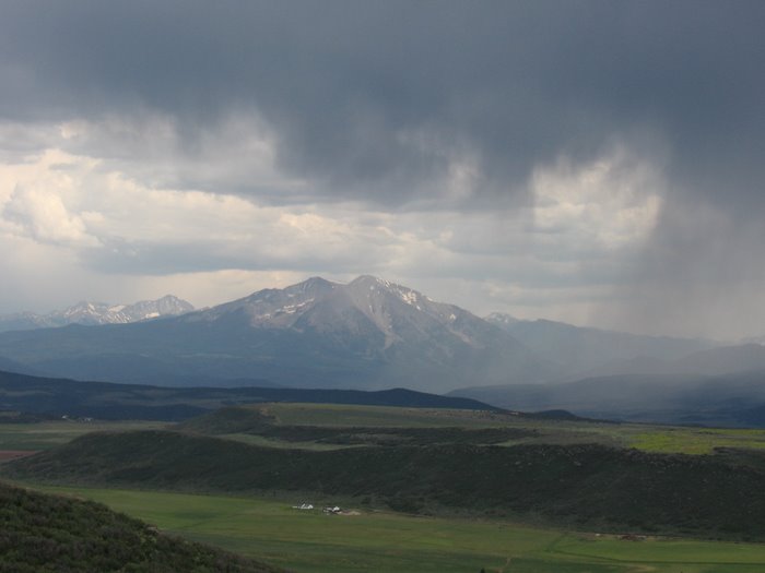
 There was a little smoke in the distance. I noticed some close to Marion on my way to the trail head.


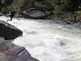
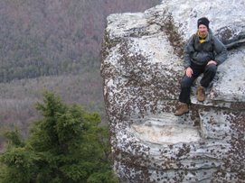
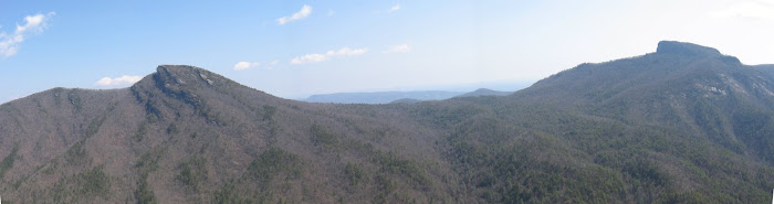
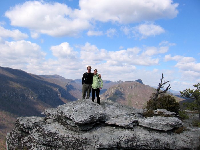
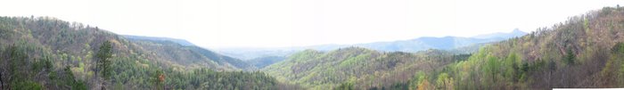
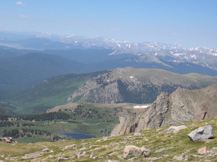
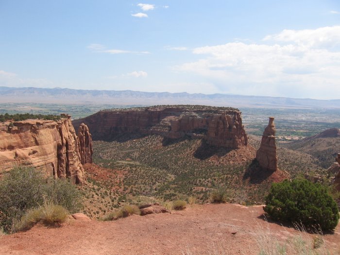
 What an incredible ridge line

 Made it onto the parkway:
 There was a little smoke in the distance. I noticed some close to Marion on my way to the trail head.


 What an incredible ridge line

Finally on Heartbreak. The trail had some downfall that I had to pick up. Most of it was dead trees that had fallen over during the windstorm yesterday. I had to wrestle a few of the bigger logs but managed to clear a path through everything except the downfall that was already there before the windstorm. Some areas also had alot of leaves piled up but not for very long stretchs, overall it was "good to go". Sweet, sweet single track. Mostly frozen ground which made for some excellent trail conditions


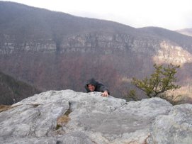
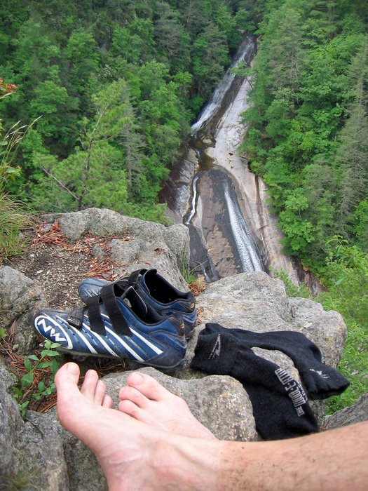
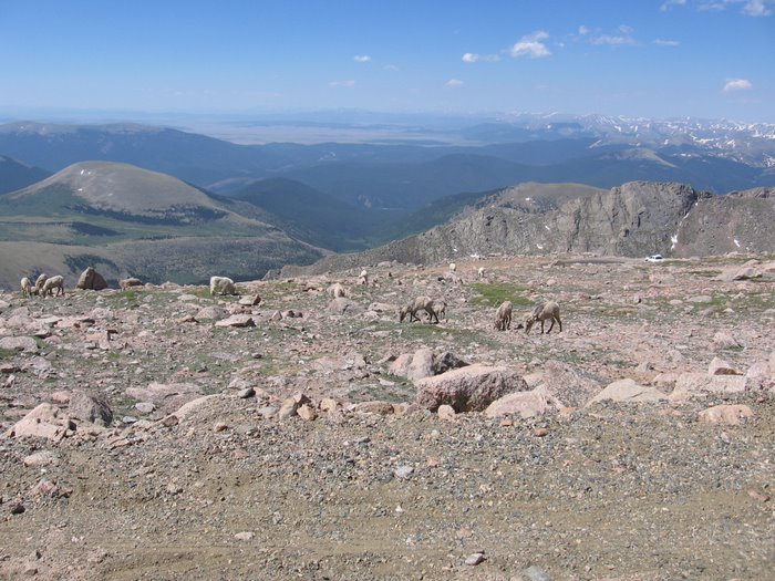
 The views from Heartbreak are some of the best


 Onto Jareds Creek road.
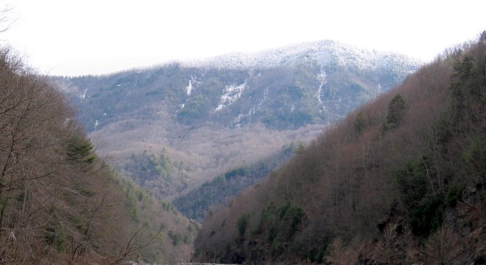
 There are some pretty nice views from Jareds Creek as well.
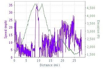
 Total mileage: 28 miles
 Sweet, sweet single track. Mostly frozen ground which made for some excellent trail conditions

 The views from Heartbreak are some of the best


 Onto Jareds Creek road.
 There are some pretty nice views from Jareds Creek as well.
 Total mileage: 28 miles
Total elevation gain: 8,739 feet
Starting elevation: 1,774 feet
Maximum elevation: 4,758 feet
Total time: 5 hours 30 minutes
Moving Time: 4 hours 6 minutes
Stopped time: 1 hour 23 minutes - mostly spent clearing trail -it'll be good to go next time
Avg speed: 6.8 mph Max speed: 35.7 mph


Amos' Epics


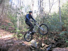
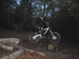
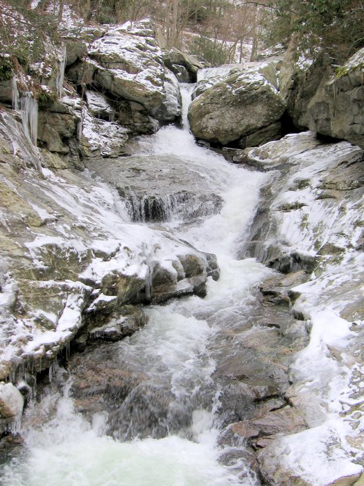
 In the photo above Josh was pushing one of the areas we just cleaned and heading towards the next down fall just past where I was standing, no point in riding that short distance. Notice the ice chips on the trail. They were all pretty big and had fallen off of tree limbs/branches.


