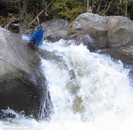
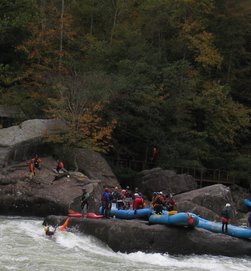
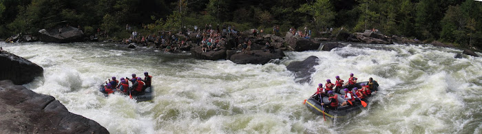
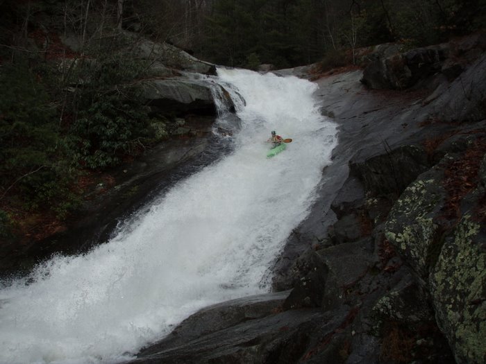
Finally back to Big Creek after a few years and I forget my camera so no pictures. Met up with Johnny Calhoun, Judd Wilson, Mike Huggins, and Nigh. It was running about 2.2/2.3 on the gage. We hiked our boats up to the walking bridge and put in below it. There was enough water but I would say it felt slightly lower than the old 1.5 on the downstream gage we used to use as a reference. We saw Forest down at the putin and he predicted it would be a good low water run and as always he was right on the money. I dont think anyone knows Big Creek better than Forest.
We walked Monster and Action Alley but everything else was good to go. I cant wait to get back on it with some more water!
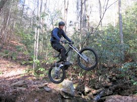
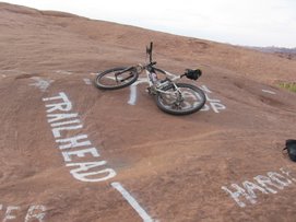
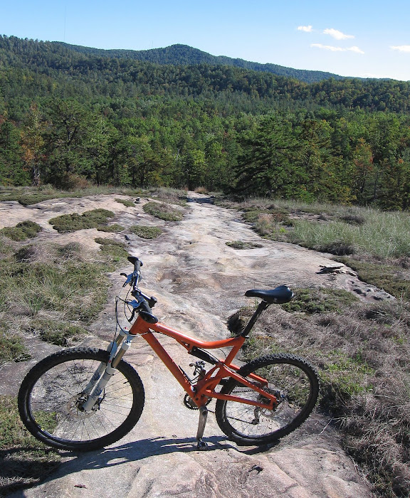
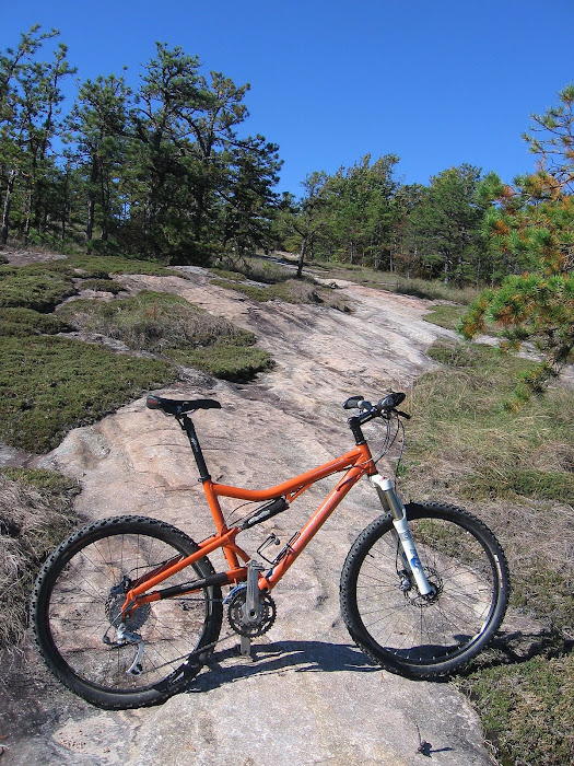
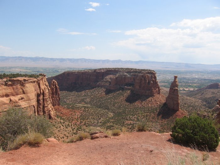
Early morning MTB ride at the Hickory Park
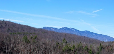
Since I was on my way to visit my parents in Havelock, I may as well stop in Hickory and get in a short ride. It was a good break early in a 6 hour drive. I was riding at sunup. There were a lot of deer on the trails.
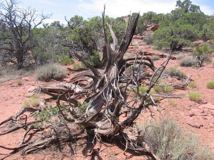
 I didnt notice this house last time I rode out here:


 I was riding at sunup. There were a lot of deer on the trails.
 I didnt notice this house last time I rode out here:


A fun early morning 5 miles. It started raining just as I finished up - excellent timing.
A 181 15 miler after a few hours at work
 Things were not as bad at work as I had thought and I was out of there after a few hours. I packed up my gear and headed up 181.
My ride elevation graph:  Speed and elevation:
 Looking a little ominous at one point but it cleared back up later.
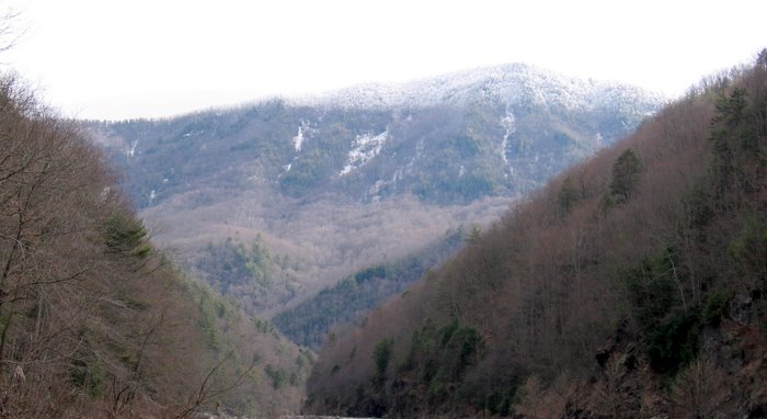
 On my way home, I couldnt help but stop and take a few shots of this view.
Speed and elevation: Total mileage: 15.36
Time: 2:09 Moving time: 1:59
Elevation gain: 3647'
Max elevation: 3709', Min elevation 2490' Gave it all up in one big elevation drop.
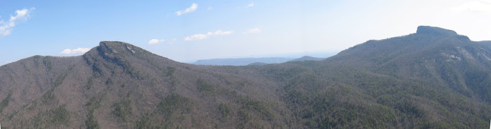
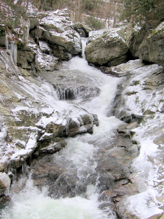
From Gingercake Acres:
 Looking a little ominous at one point but it cleared back up later.
 On my way home, I couldnt help but stop and take a few shots of this view.
Amos' Epics
Christmas Eve: Wilson Creek & Raidercamp, what a combo!
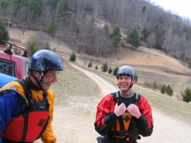
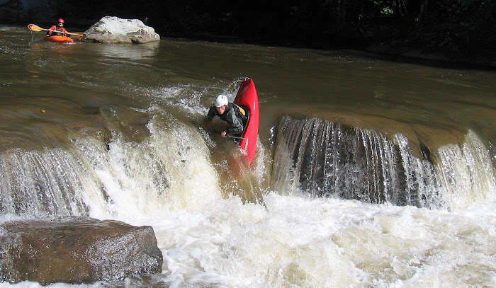
Mike "Huggie" Huggins called me this morning and asked if I wanted to meet him to paddle Wilson Creek. We hooked up with John at the takeout and the trip was on. I did one run with them and then got these shots of the guys taking off for their second run:


 It was great time paddling with Mike and John but one run at -5" was enough boat abuse. I helped them set shuttle so that both of their cars were at the takeout and I drove up stream and parked at the concrete bridge. A half a meat sandwich and a entire energy drink later and I was climbing up Craig Creek Rd then I was climbing up towards Chestnut Mountain...


 It was great time paddling with Mike and John but one run at -5" was enough boat abuse. I helped them set shuttle so that both of their cars were at the takeout and I drove up stream and parked at the concrete bridge. A half a meat sandwich and a entire energy drink later and I was climbing up Craig Creek Rd then I was climbing up towards Chestnut Mountain...
 The birds were flying around:

My ride elevation graph:

 This graph shows the elevation over time. The flats are where I took a break:

 This graph shows the elevation over time. The flats are where I took a break:
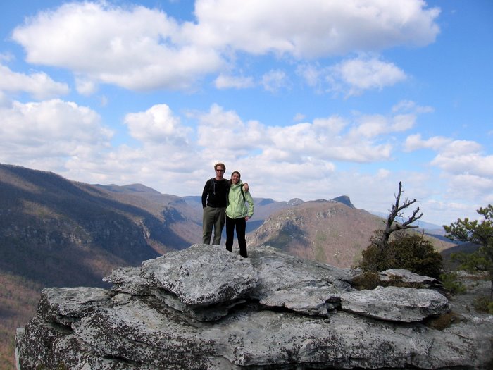
 This was the point I was at Upper Harper Creek Falls:1 hour and 19 minutes, 8.57 miles:


My ride stats:
20.57 miles
8.2 miles ascent
7.4 miles descent
4.97 miles flat
4,909' gain
total time: 3:18
moving time: 2:27
stopped time: :50 min
calories burned:
Amos' Epics
West Fork of the Pigeon River

I got up early and started checking out the IFLOWS, USGS gages, and various Dopplers. After awhile I decided to wake up Judd and make some plans. We had just discussed the West Fork of the Pigeon yesterday and today it looked like we might get a nice unexpected Christmas present. The USGS gage was still only reading somewhere in the 260 range at 6:30 a.m. but the doppler was showing a big band of rain right over top of that area and the IFLOWS gages had shown some of the heaviest rainfall amounts in the headwaters of the West Fork Pigeon and NF/WF of the French Broad. Our plan, I hit the road and head in that general direction and Judd goes and gets a visual on the West Fork since it is in his backyard. I was ready to take my turn towards North Fork of the French Broad when Judd calls and says "its runnin'", I stayed on I40 and exited on the east side of Canton. It ended up peaking at just a little over 500 c.f.s and I think we got some of it at about that level, for a little while anyway. As you can see from the chart it dropped out fast.
It ended up peaking at just a little over 500 c.f.s and I think we got some of it at about that level, for a little while anyway. As you can see from the chart it dropped out fast.
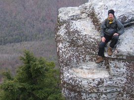
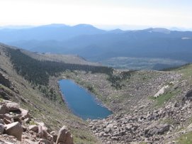
The next picture is what the level looked like at the take out when I was setting shuttle. It had rained the entire way and stopped when I pulled into the takeout. The temperature was incredibly warm for this time of year. I didnt wear pogies or a scull cap the entire trip. Up top at the Garden of the Gods. He's like, "I told you there was water":
 Up top at the Garden of the Gods. He's like, "I told you there was water":
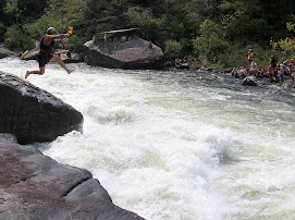
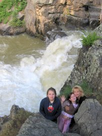
And there was water. It spiked out at over 500 c.f.s. and we were there to paddle it when it did but we didnt paddle this:

These next two shots show the water level difference from before our run and after:


The following are two more of the photos taken from the same spot, the first right before our run and the second, after our run:


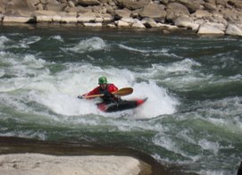
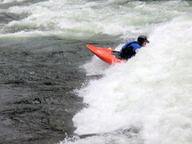
Once we were on the river:  With the juice today, it reminded me of a cross between Big Creek and Upper Creek. This was some stompin' good stuff.
 With the juice today, it reminded me of a cross between Big Creek and Upper Creek. This was some stompin' good stuff.
This slot was pretty cool, the first of many.
 Jailhouse. Nobody went to jail today:
 The West Fork is a long run with alot of horizon lines. The run required alot of "out of the boat" scouting time and some portage time as well. Probably the biggest hazard was wood lodged in the middle of some rapids which created narrow and sketchy passage ways if any passage at all. There was one potentially, very sweet class 4 rapid with a downed tree lodged right in the middle of what would have otherwise been a world class flume/slot drop. I wish we could get a work crew together to hike in there and take care of business.
This was one of so many nice drops:
 That is a big log in the water:
 I'm sorry I didnt get more on the river shots but with all the scouting, portaging, and paddling, there wasnt much time for more photos, it was a big day.

 That is a big log in the water:
 I'm sorry I didnt get more on the river shots but with all the scouting, portaging, and paddling, there wasnt much time for more photos, it was a big day.
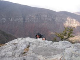
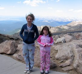
Post run photo of Garden of the Gods: One more from when we first got up top:
 Amos' Epics
One more from when we first got up top:Amos' Epics
Subscribe to:
Posts (Atom)