


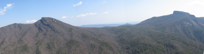
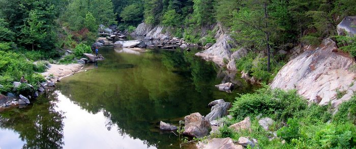
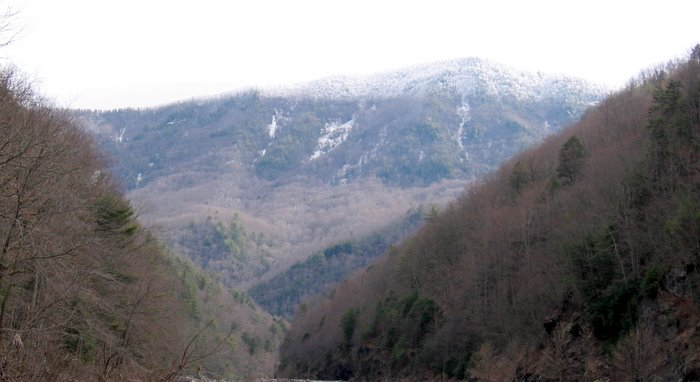
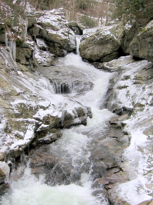
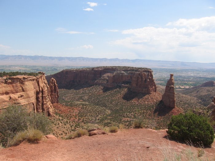
If you blow up this next picture you can see the Green Knob Observation Tower at the top of the mountain: Right Prong of the South Toe River in the Valley of Dispair, an excellent place to dip your head and soak you feet on a hot day. I chilled' out in the crystal clear water for awhile.
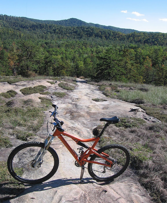


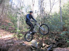
 Right after I finished up taking the flower pictures at Right Prong of the South Toe River, Jess and Tal rode up. Recently relocated from Boston, they were riding part of the ORAMM course to get ready for the race next weekend. We decided to ride Heartbreak together. It was their first time and I think they really liked it, I know I did. The trail was in great shape and there was some recent trail maintenance done near the bottom of Heartbreak - excellent job.


 Ride details


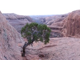
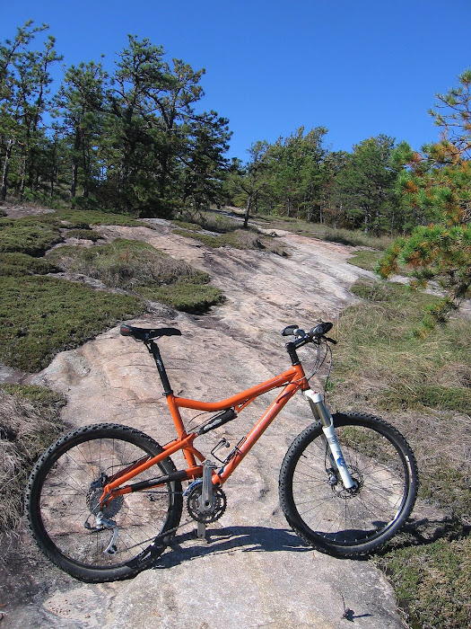
 Right Prong of the South Toe River in the Valley of Dispair, an excellent place to dip your head and soak you feet on a hot day. I chilled' out in the crystal clear water for awhile.

 Right after I finished up taking the flower pictures at Right Prong of the South Toe River, Jess and Tal rode up. Recently relocated from Boston, they were riding part of the ORAMM course to get ready for the race next weekend. We decided to ride Heartbreak together. It was their first time and I think they really liked it, I know I did. The trail was in great shape and there was some recent trail maintenance done near the bottom of Heartbreak - excellent job.


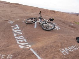
 Ride details
Distance: 33.7 miles
Elevation gain: 10,551'
Total time: 6:43 Moving time: 4:38 Stopped time: 2:05 (I took a lot of pics)
Average moving speed: 7.3 m.p.h.


Amos' Epics


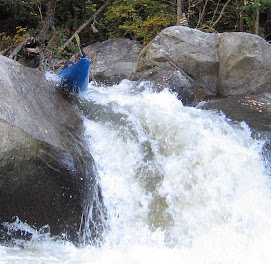
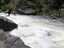
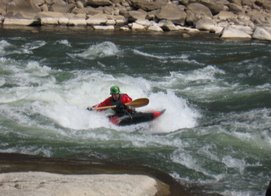
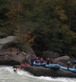
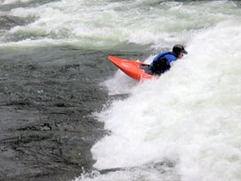
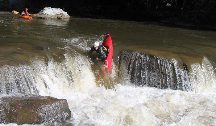
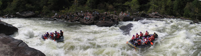
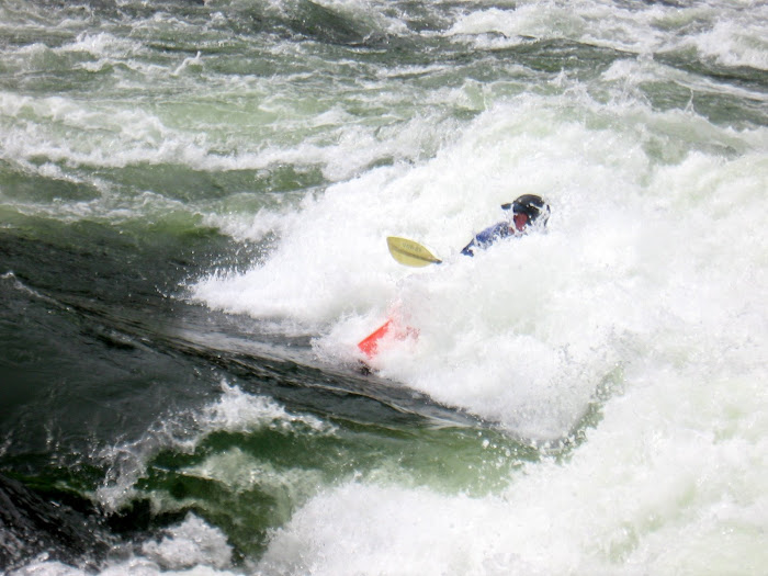
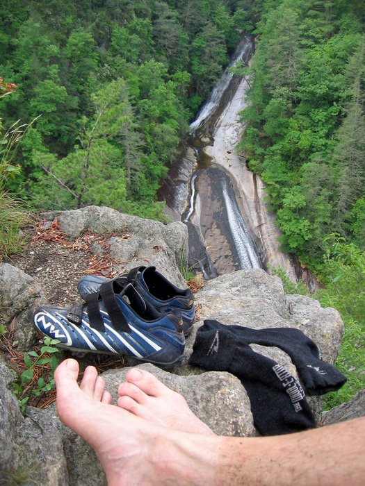
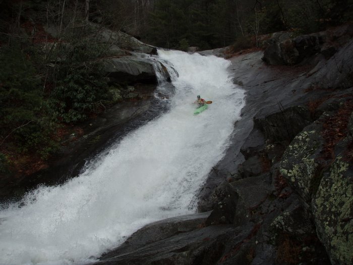
 Road side attraction is the drop below. It used to be runnable at flow but has some nasty runout now due to some rocks in the bottom section of the drop.


