Total distance: 33 miles
Total time: 5:50 Moving time: 4:22 Stopped time: 1:27 # of stops: 22
Elevation gain: 9,061' Minimum elevation: 1,072' Maximum elevation: 2,798'
Average moving speed: 7.5mph

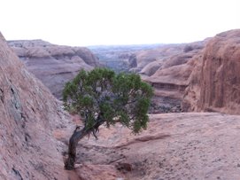
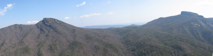
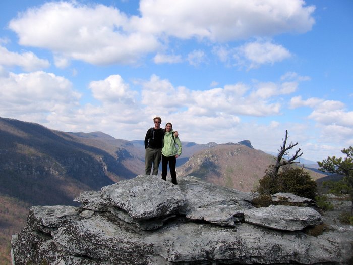
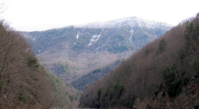
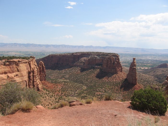
 It was a big loop with a lot of dirt road but beautiful views and not a single car. Grandfather Mtn looming overhead at several points.

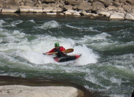
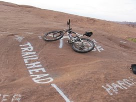
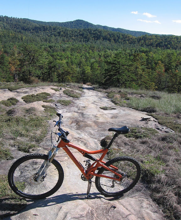
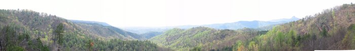
 Some nice ridge line riding once we finally got to Lower Wilson Ridge:
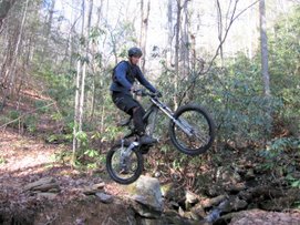
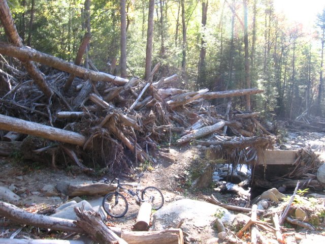
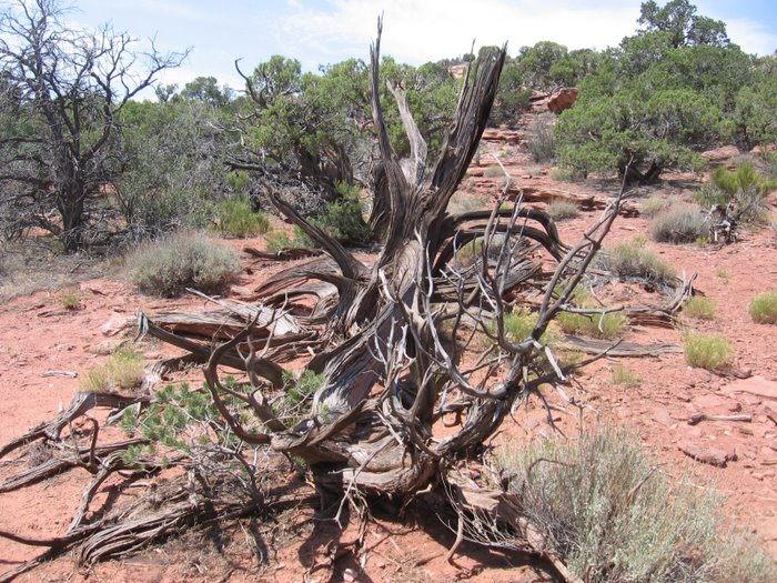
Along with the ridgeline riding came some steep hike a bike. This was a tough deep woods ride in spite of the long dirt road. 

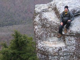
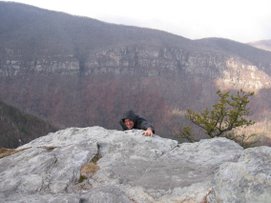
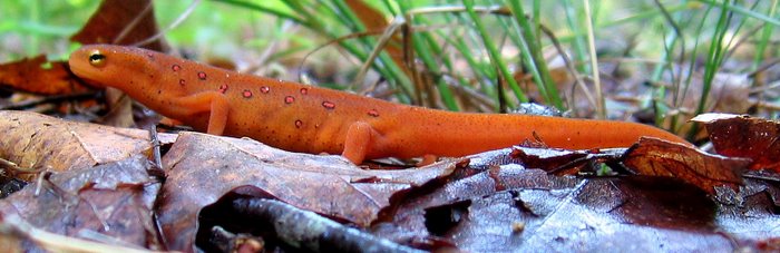
A little more pay than play but the views were incredible.

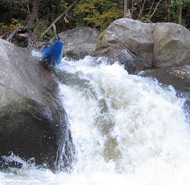
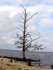
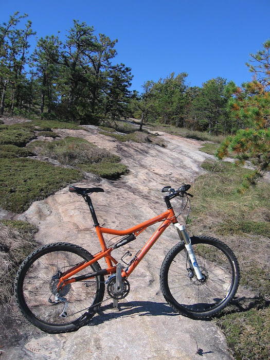
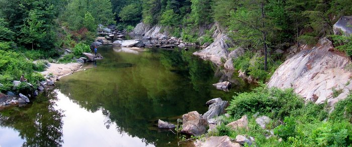
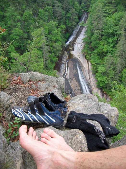
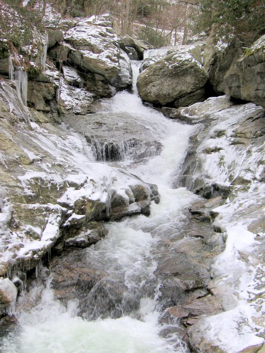
A new side of Wilson Creek:

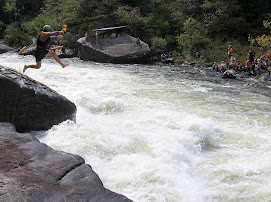
The steepest section of downhill which is also where I usually end "the Spike":


 Amos' Epics


 Amos' Epics