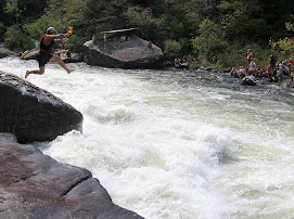
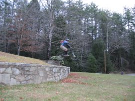
Gaston with an outstanding Zoolander:
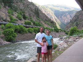
Trolling for Trout! A very productive day. 


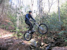
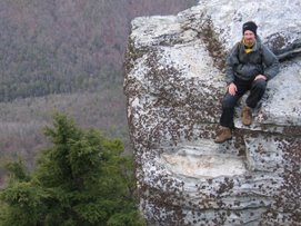
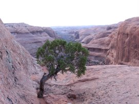
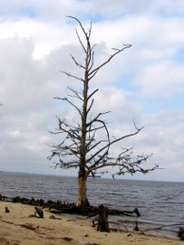
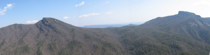
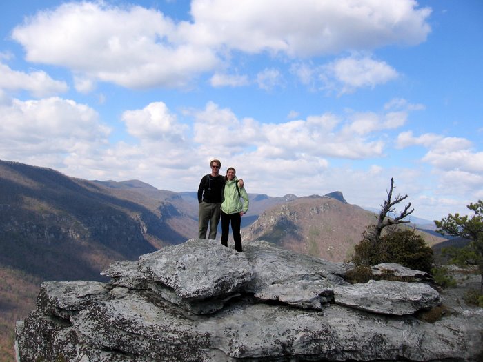
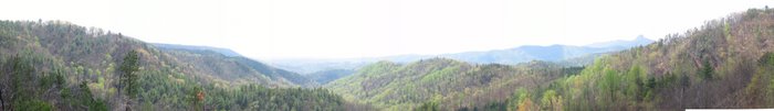
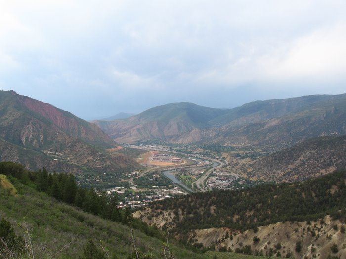
Onto my Hawksbill hike:


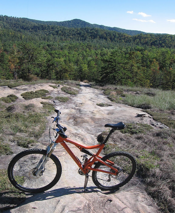
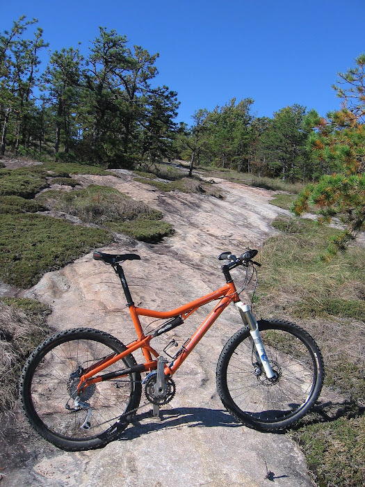
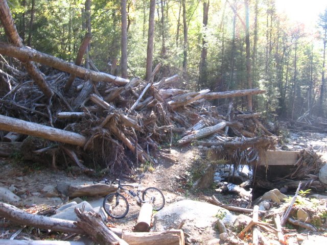
Amos' Epics
 Gaston with an outstanding Zoolander:


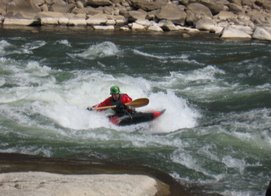
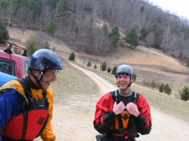
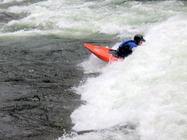
 Mike Nail:
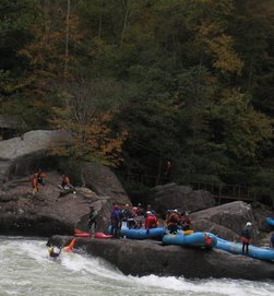
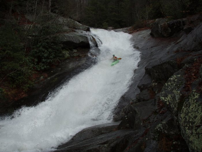
 The level was about 800 cfs. Mike Nail brought two other Mikes along and we had a good run. Those guys had not run the Doe before so I got to lead them down. It was a nice flow for a first time run, not high but not low. We got a late start but kept a good pace going and ended the run at dusk. Mike 2 and I saw 3 or 4 beavers about 75 yards from the take out, they were only about ten feet from us. They were swimming up stream towards us at our second portage, a low hanging tree crossing the creek.

 Signs, signs, everywhere there's signs...
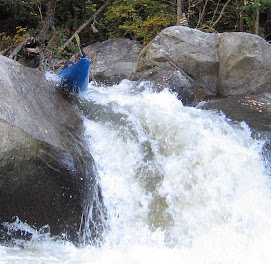
 ^ Layla and Gaston timing the slot and boof perfectly!
 Corey dropping the slot ^
 Adam Hill ^ with Beans behind him ^
 Layla ^
 Gaston ^


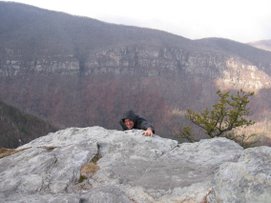
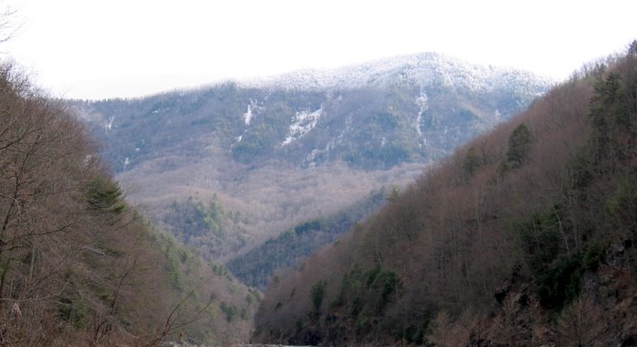
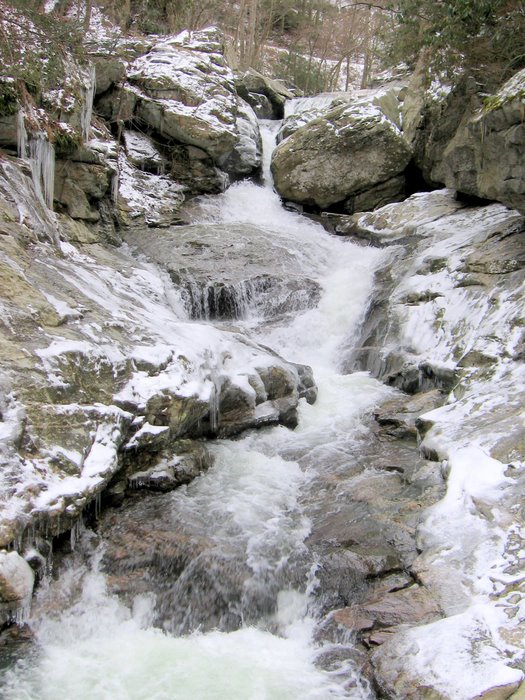
 Amos' Epics
 Dan and Felix along the creek we managed to climb up.