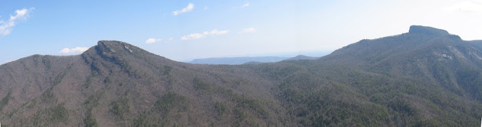
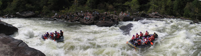
May 3, 2009: We started at Sugar Cove off of Hwy 80 and hiked up an unmarked trail along a creek (that is not named on my Natl Geo map) towards Big Laurel Gap. After a few miles, the trail kept getting harder and harder to follow. It was uphill all the way and soon there was little to no sign of a trail and we were simply climbing up the stream bed. Every now and then we would see an old bottle or tin can that gave us hope we were on to something. Then we got a hint of an animal trail climbing up steeply so we scrambled upwards (and I really mean scrambled). Finally we plateaued and could see the parkway one ridge line over. A couple of times we even heard a car traveling on a dirt road. We knew it had to be Curtis Creek. It wasn't all over yet. We managed to bushwhack to the top of Curtis Creek (less than a mile from the parkway). We took a left onto Curtis Creek Rd then took another left onto 219 which leads through lots of stinging nettles and poison ivy and back to Sugar Cove. A big 5+ hour loop.

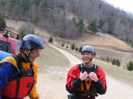
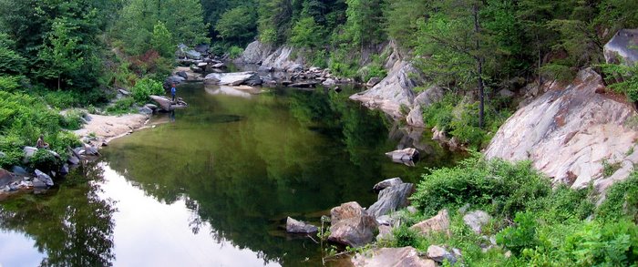
Dan and Felix along the creek we managed to climb up.

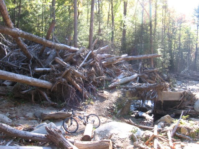
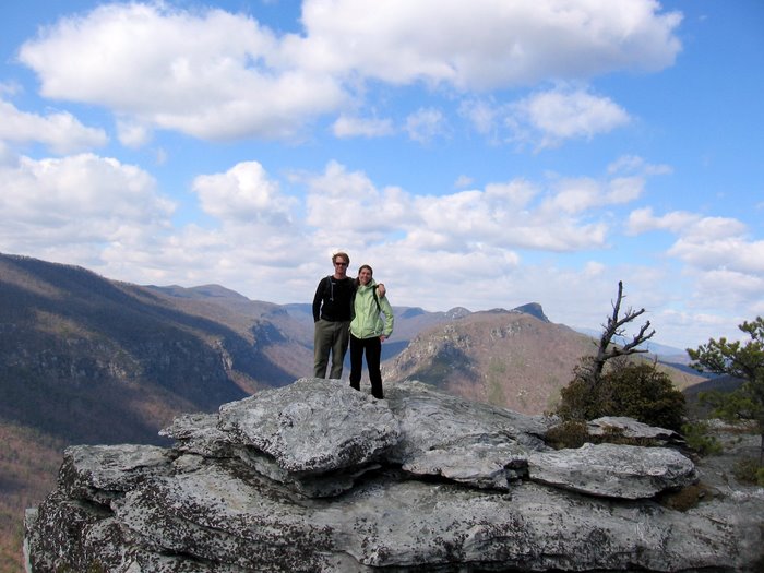
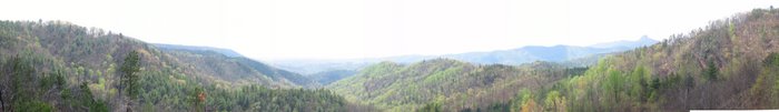
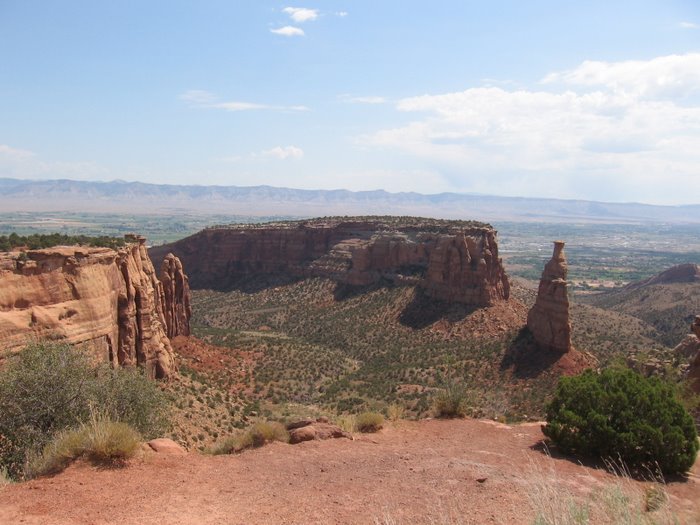
The first plateau. Finally made to a point we could look around:

We were determined to not turn around and go back the way we came.


 Dan and Felix along the creek we managed to climb up.