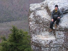
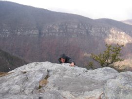
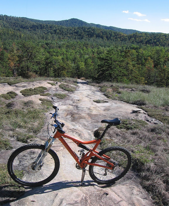
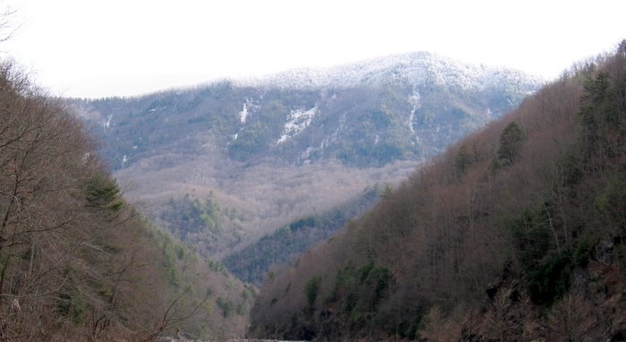
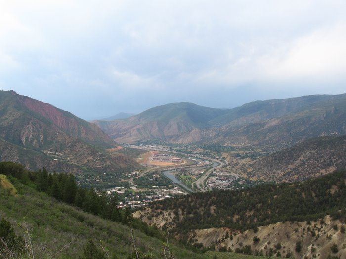
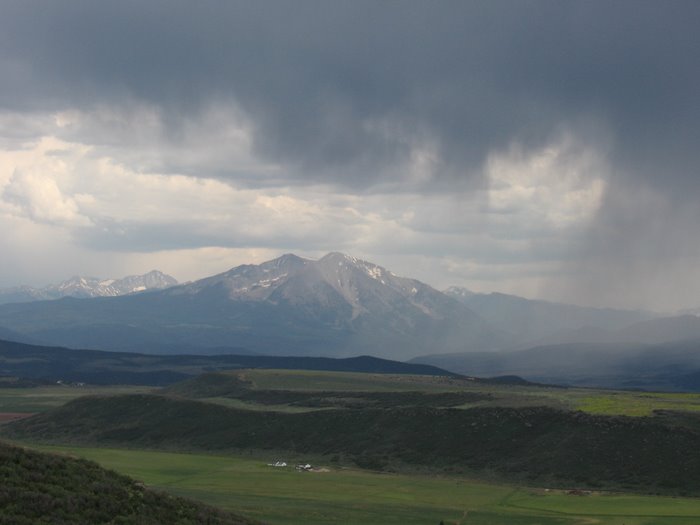
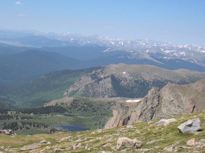
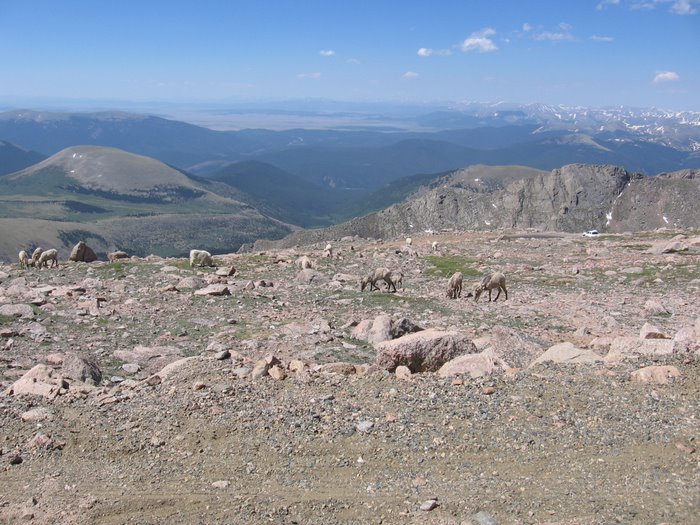
 Views from the Kistler Memorial Highway
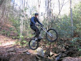
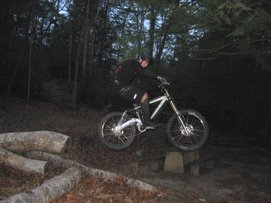
 The trail drops off of KMH with one switchback at the top then stays very straight for a good ways. It is probably the straightest trail around. Felix enjoyed it:
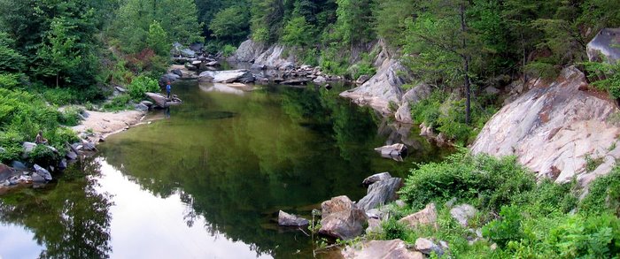
 The creek at the bottom. There is a very nice camp site just past this point.


 This section of the MTS trail was nice and clear but there was a small creek running through the middle of the trail in a few sections.
 The single track T's into the road designated 106 on my map. The sign above is straight across the road (106) from where the MTS takes a left and follows 106. Click on the sign to enlarge, it is an interesting story and map.
 The MTS takes a left up 106 - see the white dot in the pic below - the Over Mountain Victory Trail continues straight. At first I followed the road... I followed 106 for over a mile to the pic below and decided to turn around. It just kept climbing at this point and it was getting late. The bear hunters were burnning up this road and the Kistler Memorial Hwy.
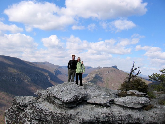
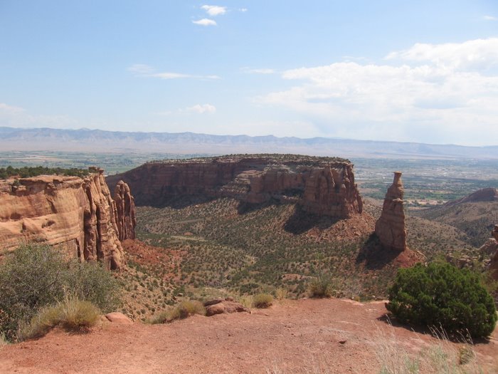
  The view below was from a wildlife viewing area right off of the road:
 Back at the cross roads I took a left and headed down the OVTrail for about a mile. The OVT was exceptional; nice and clear with an incredibly hard base. I was rewarded with another nice field similar to one of the wildlife viewing areas and some nice twilight views.
 I followed 106 for over a mile to the pic below and decided to turn around. It just kept climbing at this point and it was getting late. The bear hunters were burnning up this road and the Kistler Memorial Hwy.
  The view below was from a wildlife viewing area right off of the road:
 Back at the cross roads I took a left and headed down the OVTrail for about a mile. The OVT was exceptional; nice and clear with an incredibly hard base. I was rewarded with another nice field similar to one of the wildlife viewing areas and some nice twilight views.


